Log in
All resources
Create a design
715 Free Images of Maps & Aerials
pages with maps
cc-zero
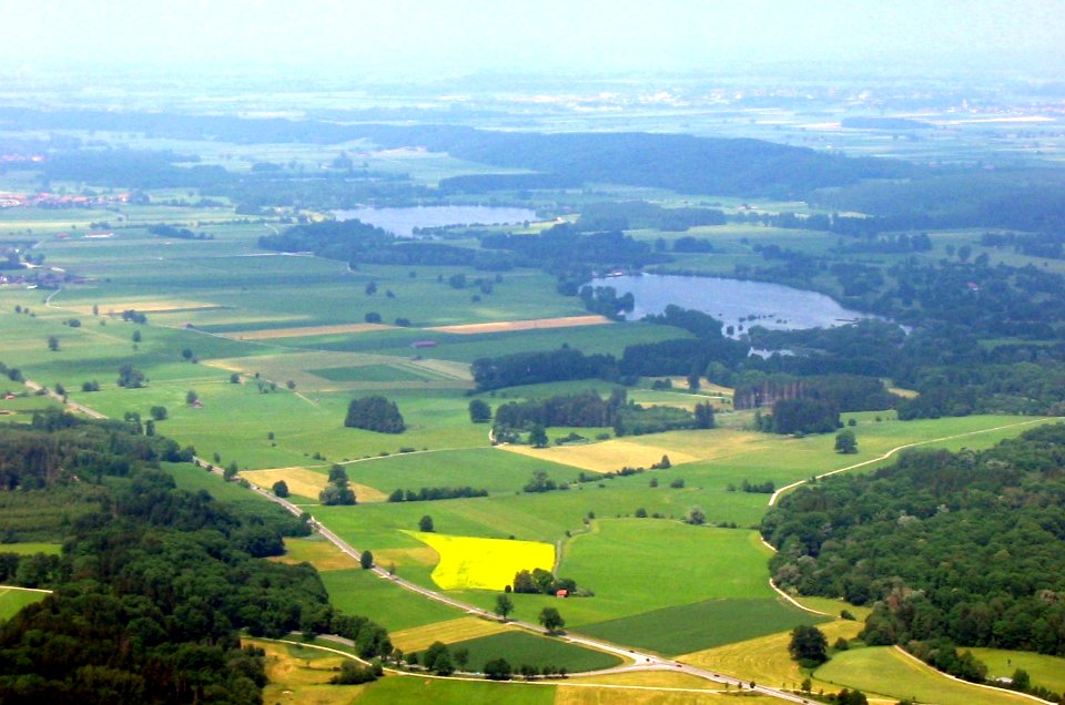
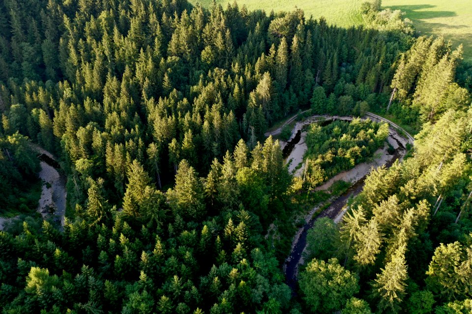
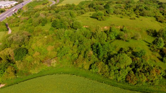
landscape
nature
green
scenery
mountain
grass
hillside
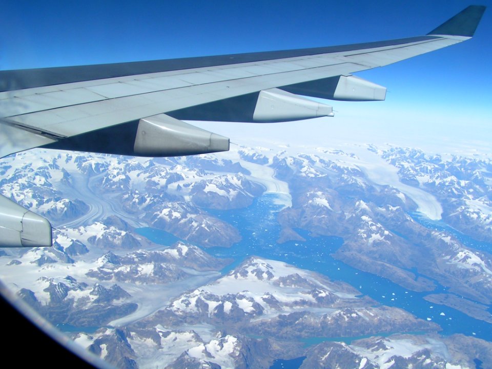
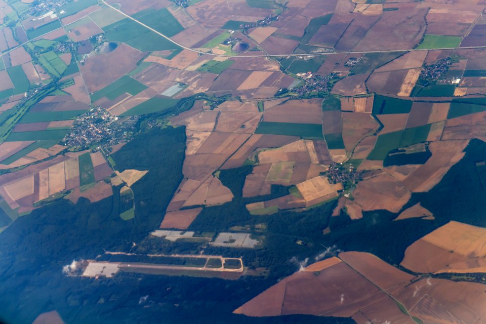
aircraft
landscape
nature
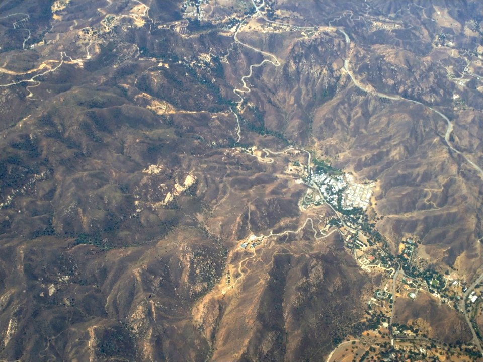
landscape
nature
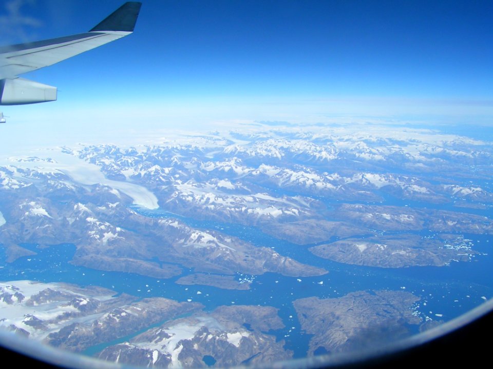
aircraft
blue
landscape
nature
aircraft
blue
aircraft
allstedt
self-published work
pages with maps
bird's-eye views of paris
1860 in paris
landscape
water
landscape
nature
self-published work
pages with maps
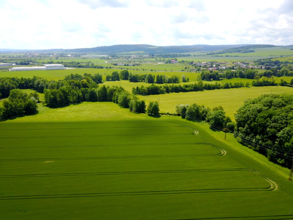
landscape
spring
landscape
travel
landscape
travel
landscape
nature
landscape
water
travel
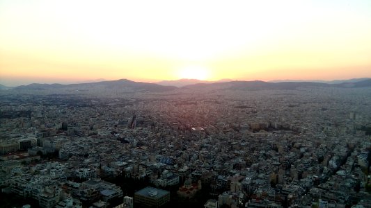
city
landscape
nature
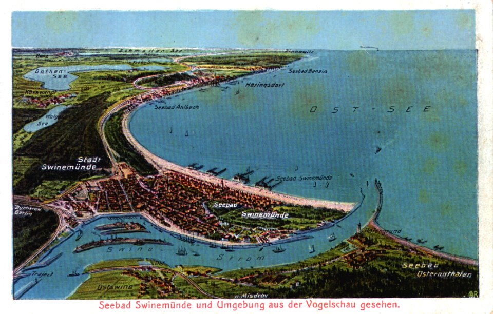
water
sea
landscape
nature
landscape
nature
landscape
nature
travel
city
self-published work
pages with maps
landscape
travel
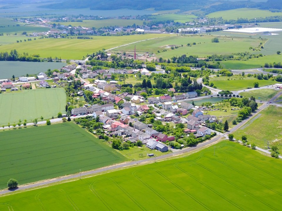
village
town
aircraft
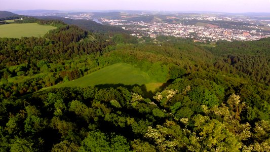
mountain
landscape
mountain
self-published work
blue
aircraft
blue
landscape
aircraft
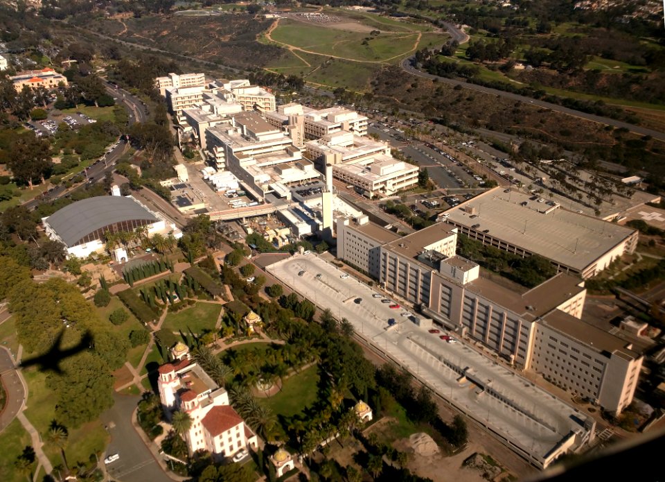
naval medical center san diego
self-published work
winter
tree
landscape
nature
underwater
aircraft
landscape
water
landscape
nature
self-published work
pages with maps
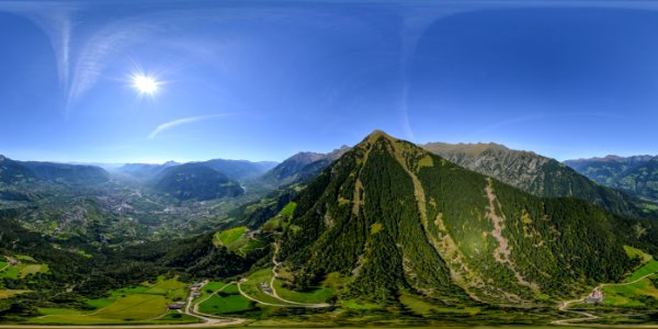
mountain
mount
self-published work
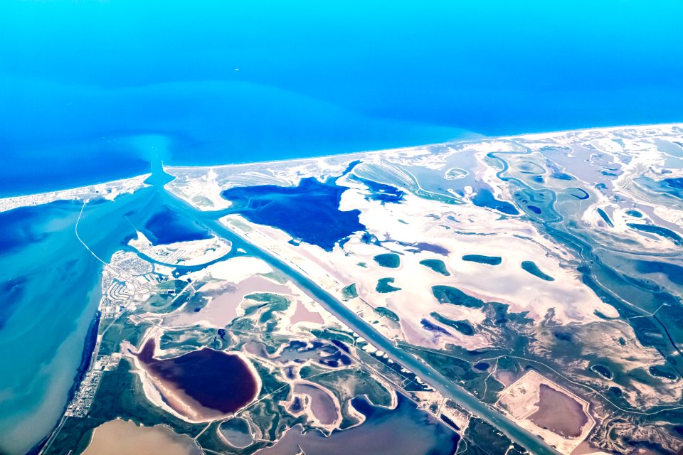
water
landscape
water
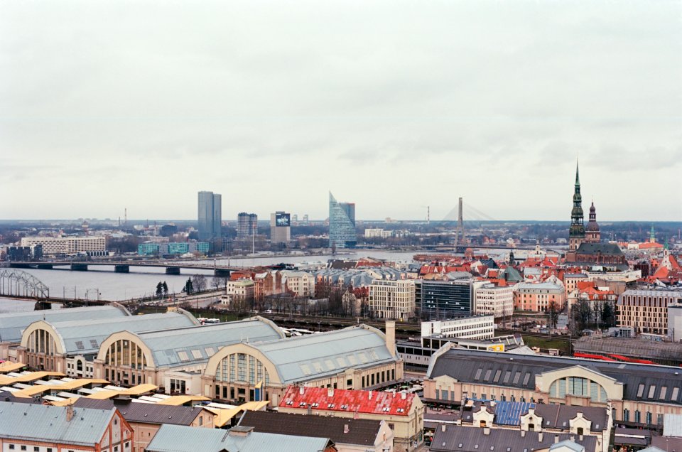
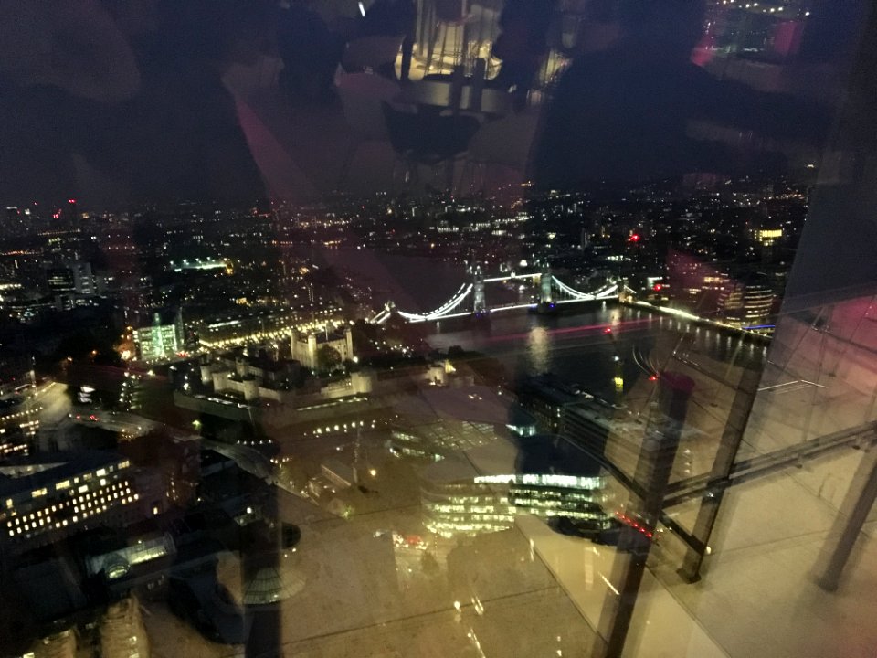
skyline
travel
landscape
nature
self-published work
farmland
aircraft
kopimi
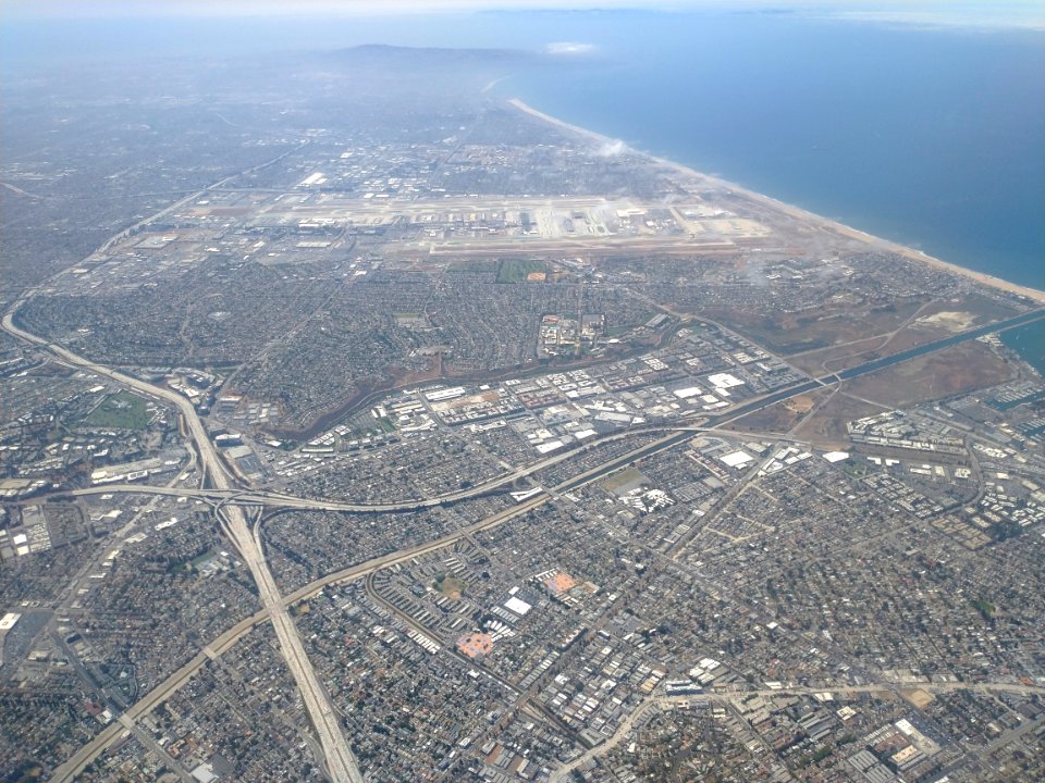
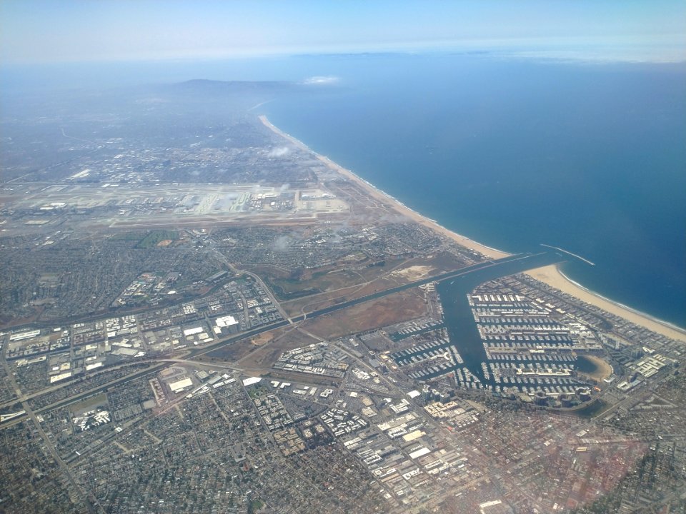
los angeles international airport
self-published work
self-published work
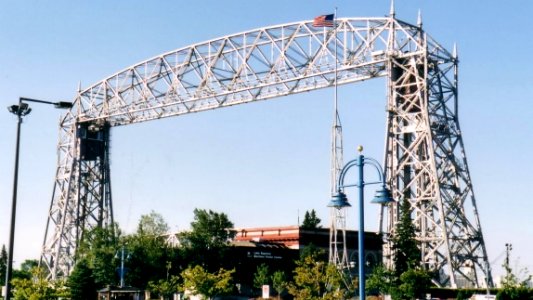
aerial lift bridge
los angeles international airport
landscape
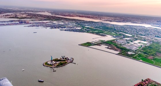
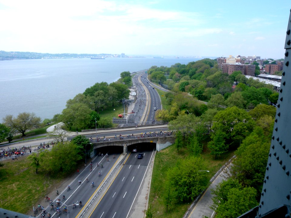
hudson river
blue
building
maps
building
maps
wallersee
aircraft
2010 brooklyn photos by jim.henderson
pages with maps
landscape
nature
self-published work
yellow truck
travel
city
aerial views of amherst, massachusetts
town maps by l. r. burleigh
self-published work
pages with maps
pages with maps
vehicle
self-published work
pages with maps
sieges of the eighty years' war
conflicts in 1583
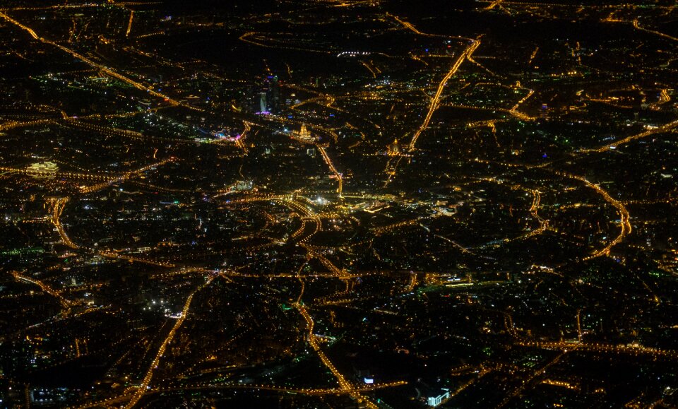
nighttime
light
water
maps
military
aircraft
maps in the library of congress
1889 maps of new york (state)
landscape
maps
maps of canterbury by braun & hogenberg
william smith (herald and playwright)
strasbourg in the 17th century
old maps of strasbourg
aerial views of amherst, massachusetts
town maps by l. r. burleigh
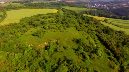
landscape
nature
landscape
tree
maps of the battle of leipzig
gartenlaube (1863)
bird's eye view maps of connecticut
jewett city, connecticut
water
maps
landscape
nature
landscape
nature
landscape
nature
strasbourg in the 17th century
old maps of strasbourg
landscape
nature
landscape
nature
maps of bologna by braun & hogenberg
maps in the british museum
curt teich postcard archives
postcards of tulsa, oklahoma
panoramics in leipzig
adolf eltzner
backs of postcards in curt teich postcard archives
postcards of tulsa, oklahoma
illustration
maps
maps of alexandria by braun & hogenberg
maps in the british museum
prints by ambrogio brambilla
maps in the british museum
old maps of salvador (bahia)
jacob van meurs
shober & carqueville lithographing company
baylor university
1739 maps of france
plan de turgot
1739 maps of france
louis bretez
1739 maps of france
plan de turgot
architecture
checkflicr2
maps & aerials
checkflicr2
historical
history
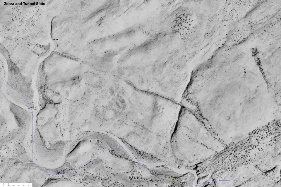
maps
utah
first manned hydrogen balloon flight by jacques charles
benoît louis prévost
first manned hydrogen balloon flight by jacques charles
benoît louis prévost
shober & carqueville lithographing company
baylor university
maps
utah
601 - 700 of 715
Next page
/ 8